ST. ALBANS TOWNSHIP
2022 COMPREHENSIVE PLAN
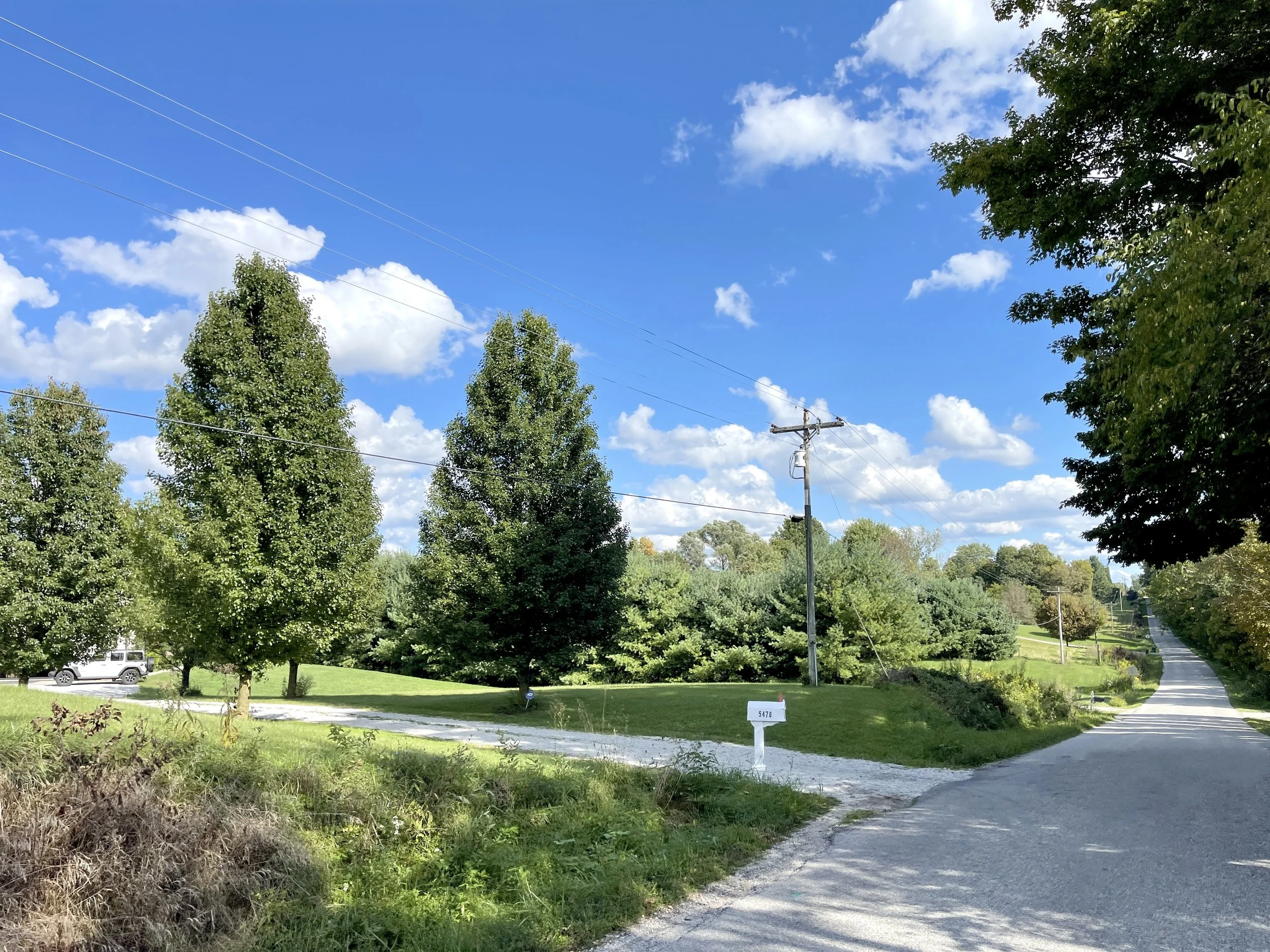
Just miles from the new Intel development and situated on the fringe of the Columbus metro area, St. Albans Township partnered with Neighborhood Strategies to develop a Comprehensive Plan that balances protection of its agricultural heritage with strategic new growth. Built on extensive public engagement, the Plan sets a clear framework to preserve farmland and rural character while fostering economic opportunity. It addresses key priorities including managing residential growth, safeguarding natural resources, enhancing roadway safety, supporting small commercial ventures, and improving recreational access. The Plan features a future land use map, form-based code recommendations for quality design, and transportation strategies such as extending the community's street network into targeted growth areas. Combining data-driven analysis and community input, this Plan guides St. Albans Township’s development amid rapid regional change.
LICKING COUNTY, OH
2021 - 2022
SERVICES
Comprehensive Planning
Zoning Resolution Update
Land Use Analysis
Community Engagement
GIS Mapping
KEY ACCOMPLISHMENT
The adoption of the Comprehensive Plan directly led to planned unit development regulations
Drafting of form-based code regulations
>>> Advancing Zoning Through Form-Based Code
As part of the Comprehensive Plan process, Neighborhood Strategies worked with St. Albans Township to draft form-based code regulations that align with the community’s vision for future growth. These regulations shift the focus from solely controlling land use to shaping the physical form and character of development, ensuring that new construction supports walkability, rural character, and high-quality design. Drawing from best practices and extensive public input, the draft code provides clear, user-friendly standards for building placement, scale, and appearance while allowing flexibility for mixed uses and creative site design. This approach offers the Township a modern, adaptable zoning tool that promotes predictable results and reinforces the community’s desired identity.
>>> Extending the Street Network for an Interconnected Transportation System
The Comprehensive Plan identified opportunities to extend the community's street network into strategic growth areas, improving connectivity, safety, and access to future development sites. These planned extensions are designed to disperse traffic, reduce congestion on primary corridors, and create logical, walkable links between new neighborhoods, existing streets, and community amenities. By coordinating street extensions with land use planning, the Plan ensures that future development is supported by an interconnected transportation system that balances vehicular, pedestrian, and bicycle needs. This proactive approach positions the Township to accommodate growth while maintaining small-town character and accessibility.